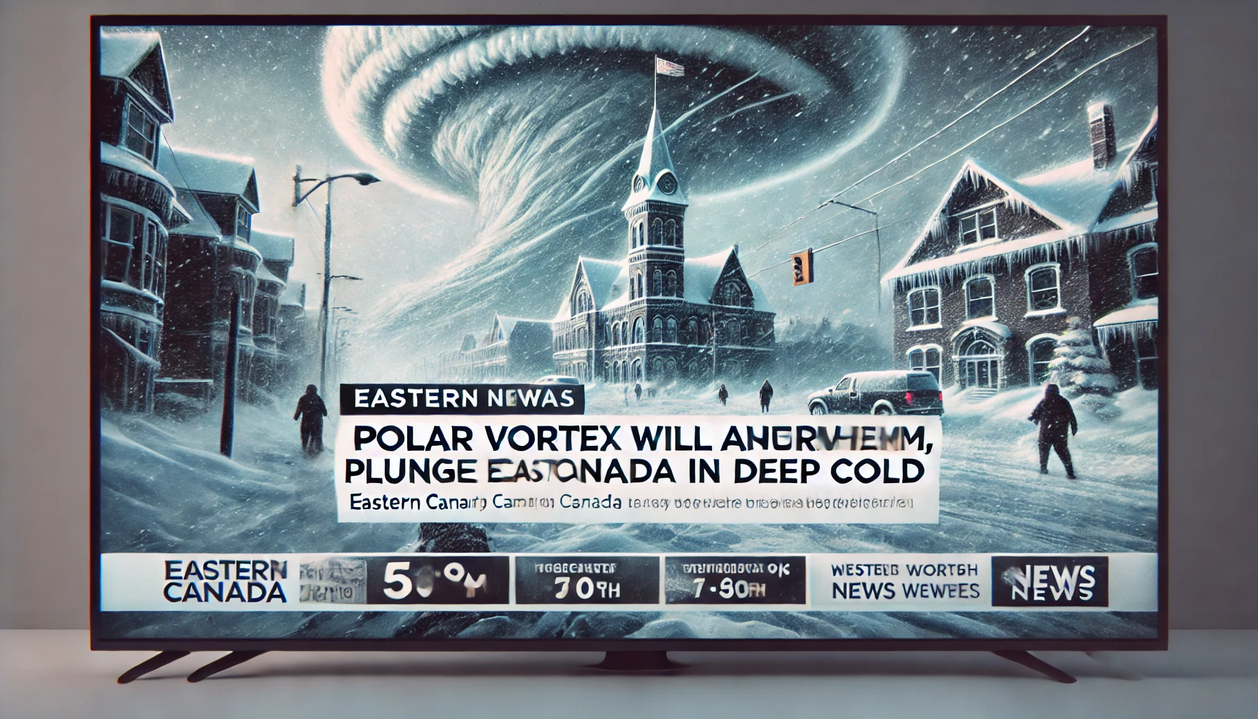
A polar vortex is set to bring frigid temperatures to Eastern Canada in the coming days, marking some of the coldest conditions in recent years.
Impact on Eastern Canada:
Ontario:
Southern regions, including Toronto, are expected to experience significant temperature drops. Forecasts indicate a sharp decline from a high of 38°F (4°C) on Saturday, January 18, to a low of 13°F (-10°C) by evening. The cold spell is anticipated to persist into the following week, with daytime highs struggling to reach the mid-teens Fahrenheit.
Quebec:
Areas such as Montreal will also face severe cold. Snowfall is expected on Saturday, January 18, with accumulations of 3-6 cm. Temperatures will then plummet, with highs around 13°F (-10°C) on Sunday and lows dipping below zero Fahrenheit. The cold wave is projected to extend into the week, bringing prolonged chilly conditions.
Understanding the Polar Vortex:
The polar vortex is a large area of low pressure and cold air surrounding the Earth’s poles. During winter, it can expand and send cold air southward into Canada and the U.S. This particular event involves a lobe of frigid air from Siberia moving south on the western side of the vortex, leading to the anticipated temperature drops.
Safety Precautions:
Residents in the affected areas should prepare for the extreme cold by:
Dressing in layers to retain body heat.
Limiting time spent outdoors to prevent frostbite and hypothermia.
Ensuring homes are adequately heated and insulated.
Checking on vulnerable individuals, such as the elderly and those with health conditions.
Stay updated with local weather forecasts and heed any advisories issued by authorities to navigate this cold spell safely.


